
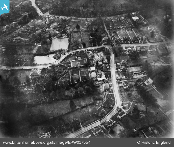
EPW017554 ENGLAND (1927). High Pine Close and environs, Weybridge, 1927
© Copyright OpenStreetMap contributors and licensed by the OpenStreetMap Foundation. 2026. Cartography is licensed as CC BY-SA.
Nearby Images (7)
EPW017554

EPW017550

EPW028320

EPW017553

EPW017549

EPW028321

EPW017551

Details
| Title | [EPW017554] High Pine Close and environs, Weybridge, 1927 |
| Reference | EPW017554 |
| Date | 8-April-1927 |
| Link | |
| Place name | WEYBRIDGE |
| Parish | |
| District | |
| Country | ENGLAND |
| Easting / Northing | 508492, 164512 |
| Longitude / Latitude | -0.44128086770086, 51.368793647891 |
| National Grid Reference | TQ085645 |
