
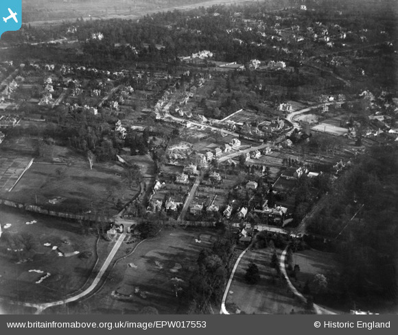
EPW017553 ENGLAND (1927). High Pine Close and environs, Weybridge, 1927
© Copyright OpenStreetMap contributors and licensed by the OpenStreetMap Foundation. 2026. Cartography is licensed as CC BY-SA.
Nearby Images (5)
EPW017553

EPW017550

EPW017549

EPW017554

EPW017552

Details
| Title | [EPW017553] High Pine Close and environs, Weybridge, 1927 |
| Reference | EPW017553 |
| Date | 8-April-1927 |
| Link | |
| Place name | WEYBRIDGE |
| Parish | |
| District | |
| Country | ENGLAND |
| Easting / Northing | 508441, 164677 |
| Longitude / Latitude | -0.44196295042816, 51.370286638746 |
| National Grid Reference | TQ084647 |
Pins
Be the first to add a comment to this image!