
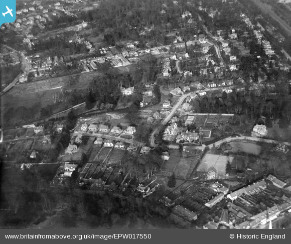
EPW017550 ENGLAND (1927). Oatlands Close and environs, Weybridge, 1927
© Copyright OpenStreetMap contributors and licensed by the OpenStreetMap Foundation. 2026. Cartography is licensed as CC BY-SA.
Nearby Images (6)
EPW017550

EPW017553

EPW017554

EPW028320

EPW017549

EPW017551

Details
| Title | [EPW017550] Oatlands Close and environs, Weybridge, 1927 |
| Reference | EPW017550 |
| Date | 8-April-1927 |
| Link | |
| Place name | WEYBRIDGE |
| Parish | |
| District | |
| Country | ENGLAND |
| Easting / Northing | 508512, 164613 |
| Longitude / Latitude | -0.44096279926518, 51.369697752735 |
| National Grid Reference | TQ085646 |
Pins

Curious |
Saturday 2nd of November 2019 09:38:23 PM |