
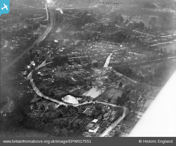
EPW017551 ENGLAND (1927). Queens Road and environs, Weybridge, 1927
© Copyright OpenStreetMap contributors and licensed by the OpenStreetMap Foundation. 2026. Cartography is licensed as CC BY-SA.
Nearby Images (7)
EPW017551

EPW028328

EPW028327

EPW028320

EPW028333

EPW017554

EPW017550

Details
| Title | [EPW017551] Queens Road and environs, Weybridge, 1927 |
| Reference | EPW017551 |
| Date | 8-April-1927 |
| Link | |
| Place name | WEYBRIDGE |
| Parish | |
| District | |
| Country | ENGLAND |
| Easting / Northing | 508289, 164366 |
| Longitude / Latitude | -0.44424072620306, 51.367519951399 |
| National Grid Reference | TQ083644 |
Pins

richardj |
Friday 3rd of March 2017 06:31:16 PM | |
|
richardj |
Friday 3rd of March 2017 06:29:58 PM | |
|
richardj |
Friday 3rd of March 2017 06:28:15 PM | |
|
richardj |
Friday 3rd of March 2017 06:26:59 PM | |
|
richardj |
Friday 3rd of March 2017 06:26:15 PM | |
|
richardj |
Friday 3rd of March 2017 06:23:52 PM |