
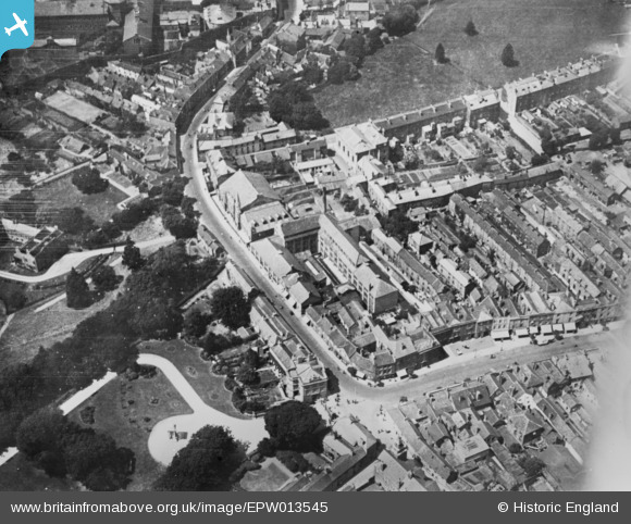
EPW013545 ENGLAND (1925). Upper High Street and environs, Taunton, 1925. This image has been produced from a copy-negative.
© Copyright OpenStreetMap contributors and licensed by the OpenStreetMap Foundation. 2026. Cartography is licensed as CC BY-SA.
Nearby Images (19)
EPW013545

EPW027892

EAW051945

EAW005138

EAW015036

EAW005345

EAW051946

EAW005344

EAW015038

EAW005137

EAW049104

EAW005139

EPW027898

EPW041180

EAW005135

EAW015039

EAW005140

EPW027894

EAW051941

Details
| Title | [EPW013545] Upper High Street and environs, Taunton, 1925. This image has been produced from a copy-negative. |
| Reference | EPW013545 |
| Date | June-1925 |
| Link | |
| Place name | TAUNTON |
| Parish | |
| District | |
| Country | ENGLAND |
| Easting / Northing | 322625, 124209 |
| Longitude / Latitude | -3.1030783578258, 51.011511309329 |
| National Grid Reference | ST226242 |
Pins

finney |
Friday 18th of November 2016 07:54:58 AM | |
|
finney |
Friday 18th of November 2016 07:53:55 AM | |
|
finney |
Friday 18th of November 2016 07:53:08 AM | |
|
finney |
Friday 18th of November 2016 07:51:43 AM | |
|
finney |
Friday 18th of November 2016 07:50:58 AM | |

Class31 |
Tuesday 19th of May 2015 03:49:05 PM | |
|
Class31 |
Tuesday 19th of May 2015 03:44:37 PM | |
|
Class31 |
Tuesday 19th of May 2015 03:43:51 PM | |
|
Class31 |
Tuesday 19th of May 2015 03:43:01 PM | |
|
Class31 |
Tuesday 19th of May 2015 03:42:26 PM | |
|
Class31 |
Tuesday 19th of May 2015 03:41:29 PM |


