
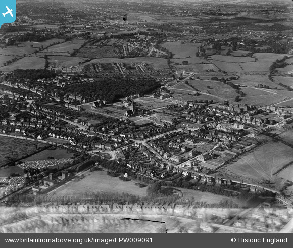
EPW009091 ENGLAND (1923). St Jude's Church and environs, Hampstead Garden Suburb, 1923
© Copyright OpenStreetMap contributors and licensed by the OpenStreetMap Foundation. 2025. Cartography is licensed as CC BY-SA.
Nearby Images (13)
EPW009091

EPW028986

EPW047876

EPW028173

EPW028977

EPW028984

EAW046479

EPW047877

EPW047874

EPW028172

EPW028985

EPW028983

EPW028175

Details
| Title | [EPW009091] St Jude's Church and environs, Hampstead Garden Suburb, 1923 |
| Reference | EPW009091 |
| Date | 1923 |
| Link | |
| Place name | HAMPSTEAD GARDEN SUBURB |
| Parish | |
| District | |
| Country | ENGLAND |
| Easting / Northing | 525553, 188347 |
| Longitude / Latitude | -0.18781396316853, 51.579508042238 |
| National Grid Reference | TQ256883 |
Pins

Tipton |
Saturday 10th of February 2024 04:52:01 PM |