
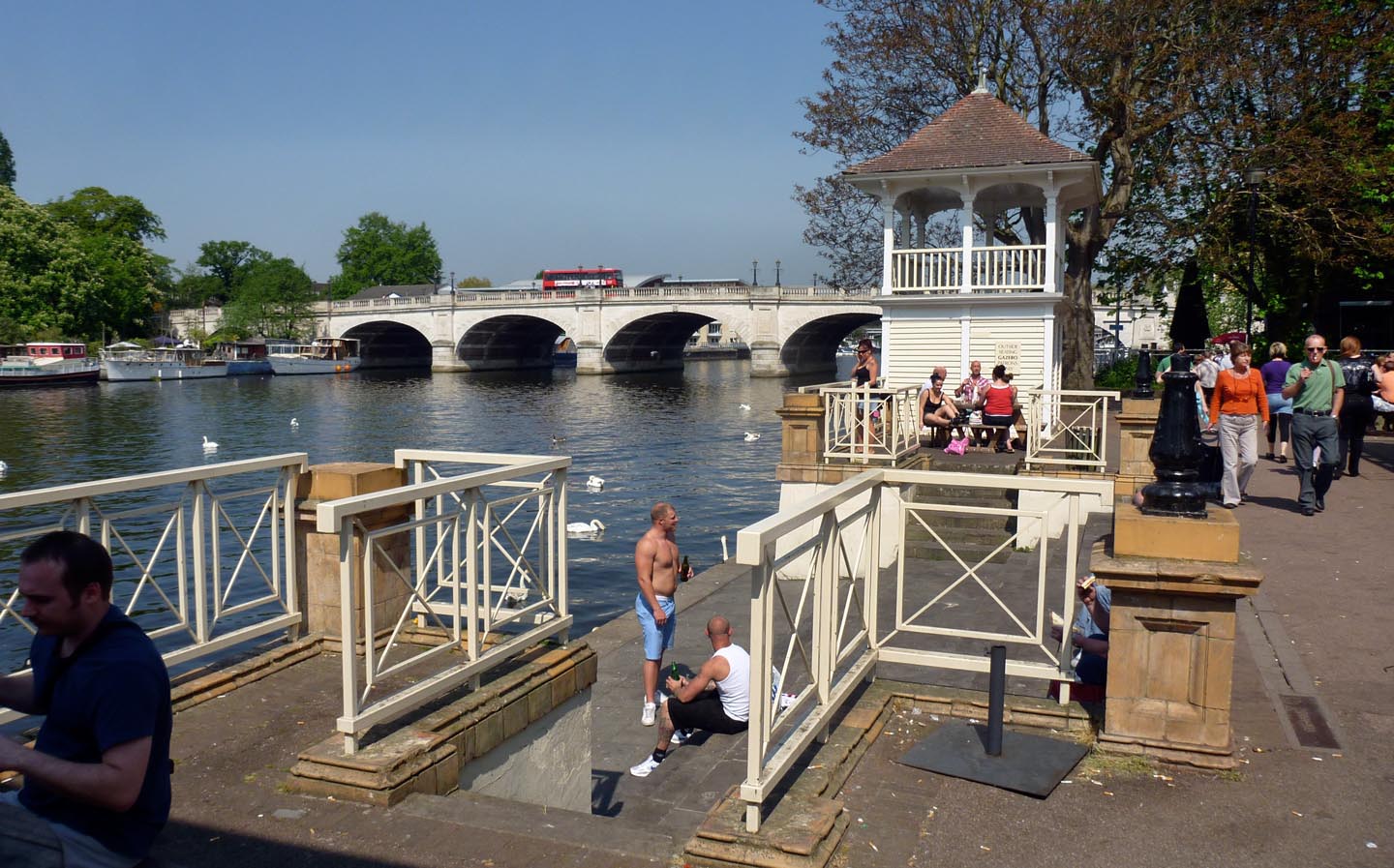
EPW008869 ENGLAND (1923). The riverside south of Kingston Bridge, Kingston upon Thames, 1923

© Copyright OpenStreetMap contributors and licensed by the OpenStreetMap Foundation. 2026. Cartography is licensed as CC BY-SA.
Nearby Images (15)
EPW008869

EPW008868

EPW011000

EPW018089

EPW010999

EPR000681

EPR000680

EAW042765

EAW042764

EPW005057

EPW001723

EPW022858

EPW022855

EPW011002

EPR000682

Details
| Title | [EPW008869] The riverside south of Kingston Bridge, Kingston upon Thames, 1923 |
| Reference | EPW008869 |
| Date | July-1923 |
| Link | |
| Place name | KINGSTON UPON THAMES |
| Parish | |
| District | |
| Country | ENGLAND |
| Easting / Northing | 517728, 169109 |
| Longitude / Latitude | -0.30712120355923, 51.408275014327 |
| National Grid Reference | TQ177691 |
Pins

User Comment Contributions
Kingston Bridge |

Alan McFaden |
Tuesday 25th of November 2014 04:41:49 PM |

Kingston upon Thames |
Alan McFaden |
Tuesday 25th of November 2014 04:41:25 PM |