
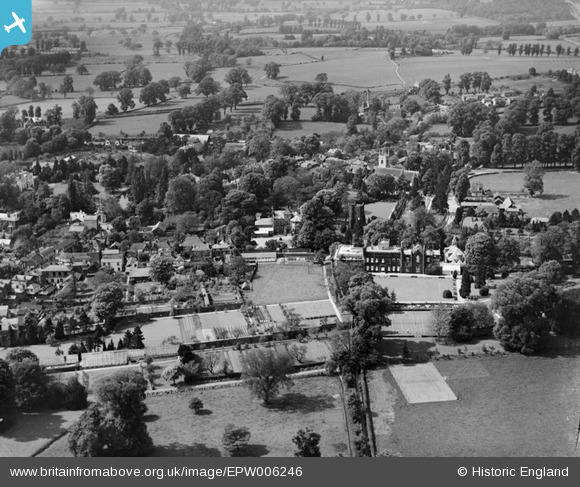
EPW006246 ENGLAND (1921). Ewell Castle and the Old Tower, Ewell, 1921
© Copyright OpenStreetMap contributors and licensed by the OpenStreetMap Foundation. 2026. Cartography is licensed as CC BY-SA.
Nearby Images (12)
EPW006246

EPW007915

EPW007912

EPW006434

EPW006404

EPW028292

EPW028295

EPW008674

EPW008688

EPW008684

EPW028293

EPW008696

Details
| Title | [EPW006246] Ewell Castle and the Old Tower, Ewell, 1921 |
| Reference | EPW006246 |
| Date | 23-May-1921 |
| Link | |
| Place name | EWELL |
| Parish | |
| District | |
| Country | ENGLAND |
| Easting / Northing | 522068, 162743 |
| Longitude / Latitude | -0.24693256296802, 51.350136618559 |
| National Grid Reference | TQ221627 |
Pins

David960 |
Monday 19th of January 2015 06:37:34 PM | |
|
David960 |
Monday 19th of January 2015 06:35:43 PM | |
|
David960 |
Monday 19th of January 2015 06:34:53 PM | |
|
David960 |
Monday 19th of January 2015 06:33:06 PM | |
|
David960 |
Monday 19th of January 2015 06:32:22 PM | |
|
David960 |
Monday 19th of January 2015 06:31:42 PM | |
|
MartinLJ |
Wednesday 22nd of August 2012 08:57:43 PM | |
|
MartinLJ |
Wednesday 22nd of August 2012 08:55:59 PM | |
|
MartinLJ |
Wednesday 22nd of August 2012 08:52:52 PM | |
|
MartinLJ |
Wednesday 22nd of August 2012 08:37:30 PM | |
|
MartinLJ |
Wednesday 22nd of August 2012 08:36:11 PM |