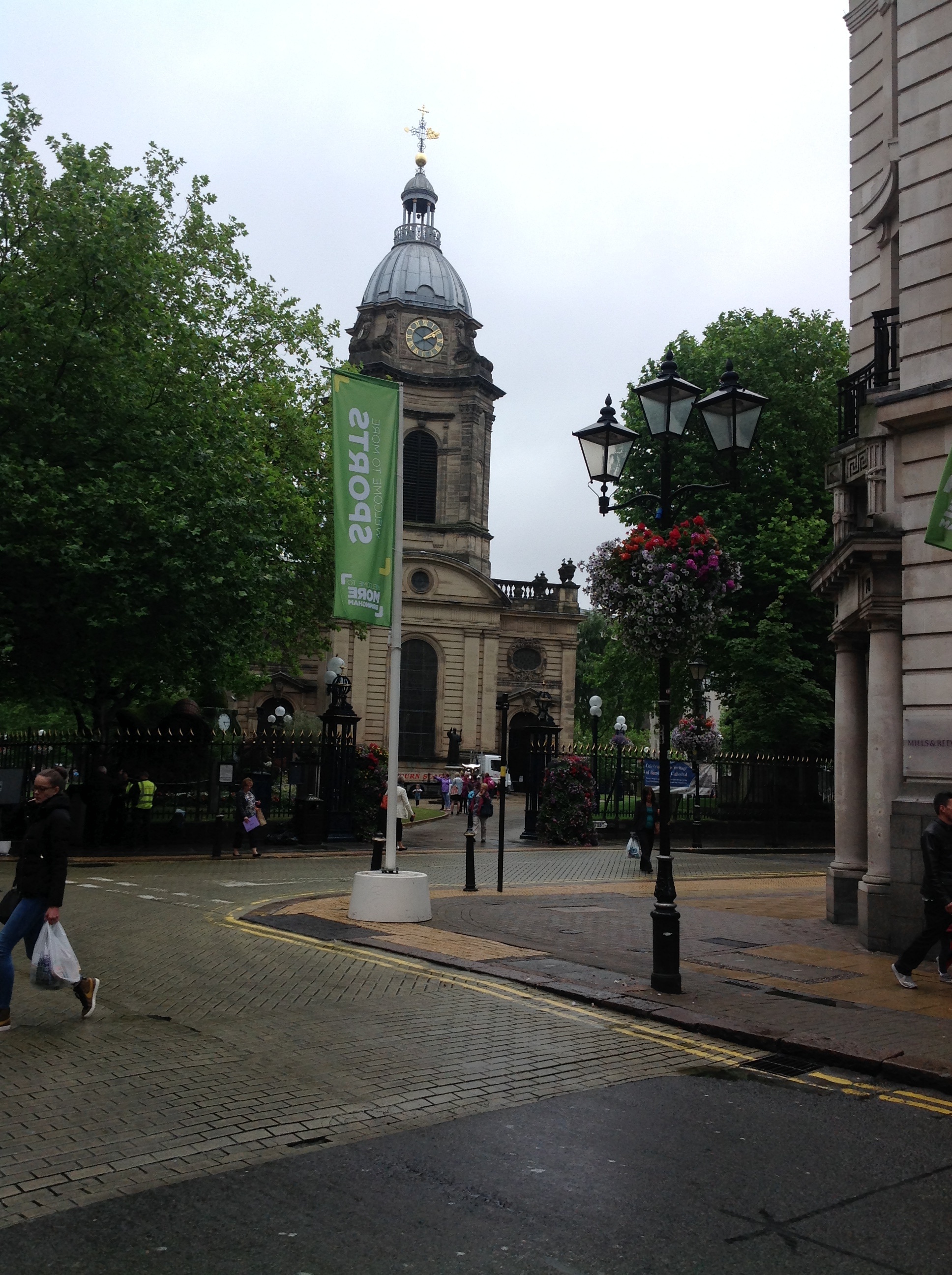
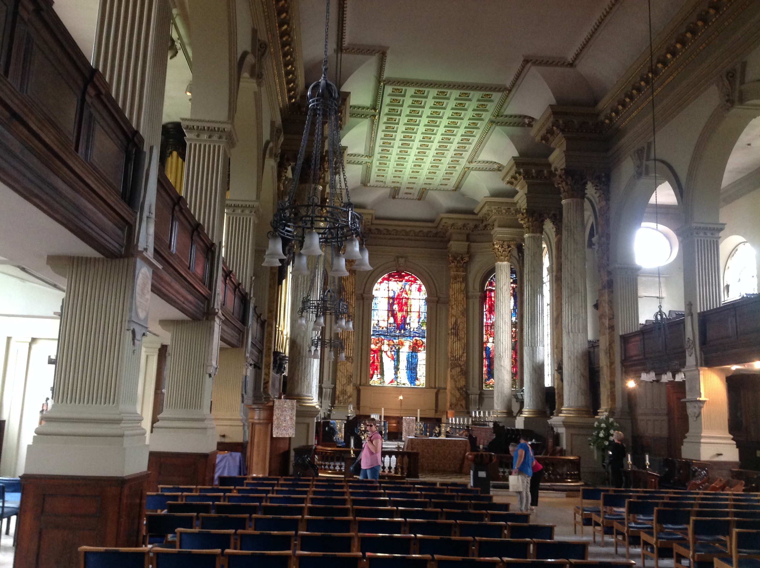
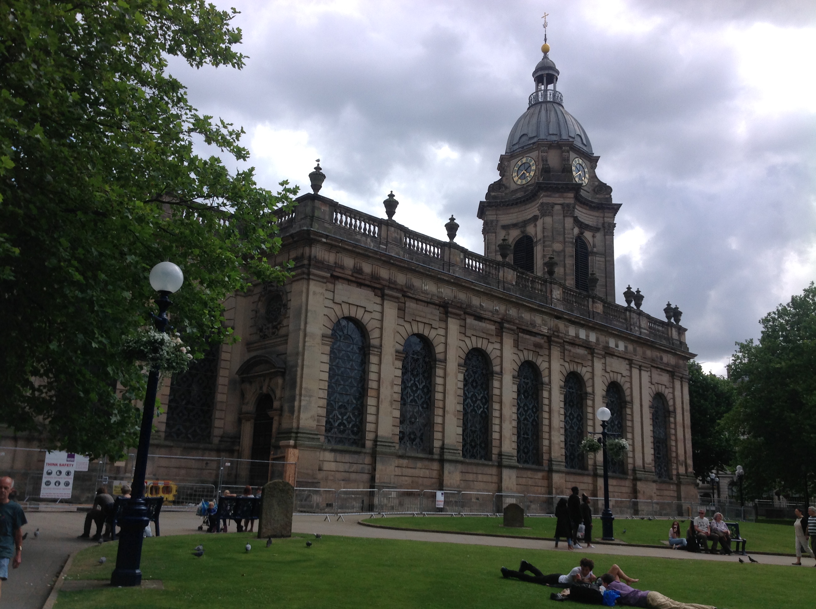
EPW005849 ENGLAND (1921). St Philip's Cathedral and Colmore Row, Birmingham, 1921

© Copyright OpenStreetMap contributors and licensed by the OpenStreetMap Foundation. 2026. Cartography is licensed as CC BY-SA.
Nearby Images (29)
EPW005849

EAW001236

EAW029415

EPW005843

EPW005842

EPW057480

EAW029414

EAW001239

EPW053091

EPW005853

EPW038606

EPW005835

EAW001234

EAW035107

EAW015327

EPW037056

EAW013570

EPW005851

EAW001235

EPW037053

EAW013569

EPW048093

EAW013566

EAW001238

EPW005836

EPW005845

EPW005839

EPW005854

EPW057481

Details
| Title | [EPW005849] St Philip's Cathedral and Colmore Row, Birmingham, 1921 |
| Reference | EPW005849 |
| Date | March-1921 |
| Link | |
| Place name | BIRMINGHAM |
| Parish | |
| District | |
| Country | ENGLAND |
| Easting / Northing | 406885, 287032 |
| Longitude / Latitude | -1.8986099864921, 52.480799626032 |
| National Grid Reference | SP069870 |
Pins

Griffin |
Saturday 26th of September 2020 09:13:44 PM | |
|
Griffin |
Sunday 9th of February 2020 06:40:48 PM | |
|
Griffin |
Sunday 9th of February 2020 06:12:47 PM | |
|
Steve Cemm |
Tuesday 10th of July 2012 09:51:57 PM | |
|
Steve Cemm |
Tuesday 10th of July 2012 09:51:24 PM | |
|
Steve Cemm |
Tuesday 10th of July 2012 09:50:44 PM | |
|
Simon King |
Saturday 30th of June 2012 09:46:49 PM |