
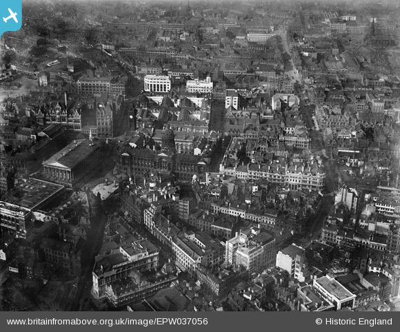
EPW037056 ENGLAND (1931). Birmingham City Council House and the city centre, Birmingham, 1931
© Copyright OpenStreetMap contributors and licensed by the OpenStreetMap Foundation. 2026. Cartography is licensed as CC BY-SA.
Nearby Images (31)
EPW037056

EPW005851

EAW013566

EPW005845

EPW005836

EPW005835

EPW005839

EPW005854

EPW005853

EPW037053

EPW022584

EAW001234

EPW005843

EPW005850

EPW022585

EAW026251

EAW006930

EAW013563

EPW022588

EPW057480

EAW001236

EAW013564

EPW005849

EAW001239

EAW026250

EPW057483

EPW053101

EPW038606

EPW005842

EAW035108

EPW038601

Details
| Title | [EPW037056] Birmingham City Council House and the city centre, Birmingham, 1931 |
| Reference | EPW037056 |
| Date | 17-October-1931 |
| Link | |
| Place name | BIRMINGHAM |
| Parish | |
| District | |
| Country | ENGLAND |
| Easting / Northing | 406711, 286934 |
| Longitude / Latitude | -1.9011743186093, 52.479920676662 |
| National Grid Reference | SP067869 |
Pins

Toby Clempson |
Friday 27th of August 2021 07:13:47 AM | |
|
Griffin |
Monday 19th of October 2020 05:33:30 PM | |
|
Griffin |
Monday 19th of October 2020 05:28:24 PM | |
|
Griffin |
Monday 19th of October 2020 05:19:35 PM | |
|
Griffin |
Monday 19th of October 2020 05:18:38 PM | |
|
Griffin |
Monday 19th of October 2020 05:15:08 PM | |
|
Griffin |
Monday 19th of October 2020 05:14:04 PM | |
|
Griffin |
Monday 19th of October 2020 05:13:14 PM | |

Class31 |
Tuesday 19th of August 2014 02:59:52 PM | |
|
Class31 |
Tuesday 19th of August 2014 02:58:50 PM |

