
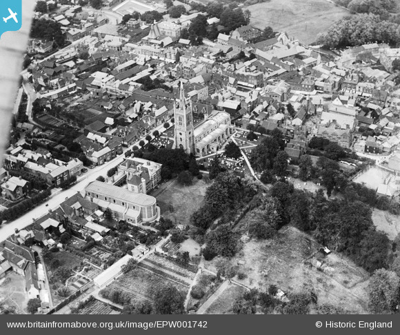
EPW001742 ENGLAND (1920). St Michael's Church and St Joseph's Monastery and Church, Bishop's Stortford, 1920
© Copyright OpenStreetMap contributors and licensed by the OpenStreetMap Foundation. 2026. Cartography is licensed as CC BY-SA.
Nearby Images (7)
EPW001742

EPW001741

EPW001772

EPW001740

EPW022356

EPW022357

EPW001978

Details
| Title | [EPW001742] St Michael's Church and St Joseph's Monastery and Church, Bishop's Stortford, 1920 |
| Reference | EPW001742 |
| Date | June-1920 |
| Link | |
| Place name | BISHOP'S STORTFORD |
| Parish | BISHOP'S STORTFORD |
| District | |
| Country | ENGLAND |
| Easting / Northing | 548612, 221323 |
| Longitude / Latitude | 0.15885240289313, 51.870215916342 |
| National Grid Reference | TL486213 |
Pins

Emily Cole |
Wednesday 16th of February 2022 04:42:32 PM |