
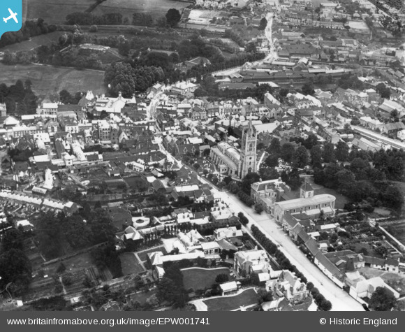
EPW001741 ENGLAND (1920). St Michael's Church and the town centre, Bishop's Stortford, 1920. This image has been produced from a print.
© Copyright OpenStreetMap contributors and licensed by the OpenStreetMap Foundation. 2026. Cartography is licensed as CC BY-SA.
Nearby Images (7)
EPW001741

EPW001742

EPW001740

EPW001772

EPW022356

EPW022357

EPW001978

Details
| Title | [EPW001741] St Michael's Church and the town centre, Bishop's Stortford, 1920. This image has been produced from a print. |
| Reference | EPW001741 |
| Date | June-1920 |
| Link | |
| Place name | BISHOP'S STORTFORD |
| Parish | BISHOP'S STORTFORD |
| District | |
| Country | ENGLAND |
| Easting / Northing | 548647, 221358 |
| Longitude / Latitude | 0.15937551881721, 51.870521083713 |
| National Grid Reference | TL486214 |
Pins
Be the first to add a comment to this image!