
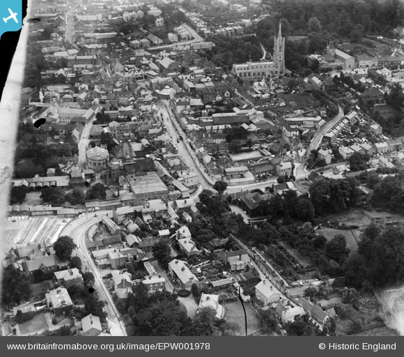
EPW001978 ENGLAND (1920). General view of the town centre, Bishop's Stortford, 1920
© Copyright OpenStreetMap contributors and licensed by the OpenStreetMap Foundation. 2026. Cartography is licensed as CC BY-SA.
Nearby Images (6)
EPW001978

EPW001741

EPW001772

EPW001742

EPW022357

EPW022356

Details
| Title | [EPW001978] General view of the town centre, Bishop's Stortford, 1920 |
| Reference | EPW001978 |
| Date | June-1920 |
| Link | |
| Place name | BISHOP'S STORTFORD |
| Parish | BISHOP'S STORTFORD |
| District | |
| Country | ENGLAND |
| Easting / Northing | 548685, 221542 |
| Longitude / Latitude | 0.16000635988207, 51.872164294684 |
| National Grid Reference | TL487215 |
Pins

Giggsy |
Thursday 18th of August 2016 01:42:46 PM |