
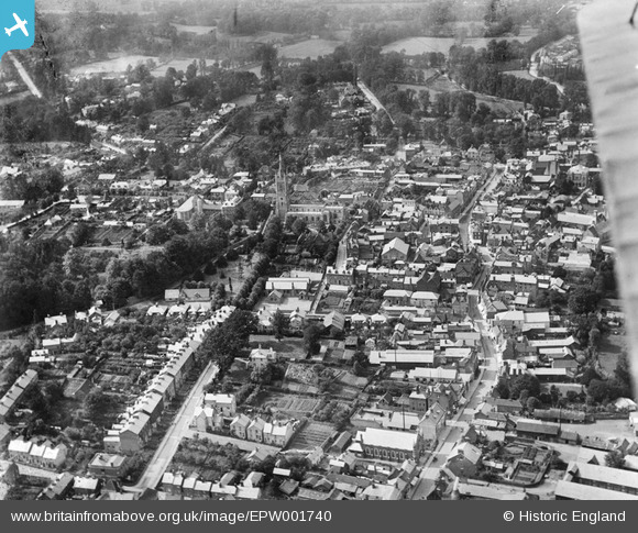
EPW001740 ENGLAND (1920). The town centre and St Michael's Church, Bishop's Stortford, 1920
© Copyright OpenStreetMap contributors and licensed by the OpenStreetMap Foundation. 2026. Cartography is licensed as CC BY-SA.
Nearby Images (6)
EPW001740

EPW001742

EPW022356

EPW001741

EPW022357

EPW001772

Details
| Title | [EPW001740] The town centre and St Michael's Church, Bishop's Stortford, 1920 |
| Reference | EPW001740 |
| Date | June-1920 |
| Link | |
| Place name | BISHOP'S STORTFORD |
| Parish | BISHOP'S STORTFORD |
| District | |
| Country | ENGLAND |
| Easting / Northing | 548669, 221278 |
| Longitude / Latitude | 0.15966041718708, 51.869796376304 |
| National Grid Reference | TL487213 |
Pins
Be the first to add a comment to this image!