
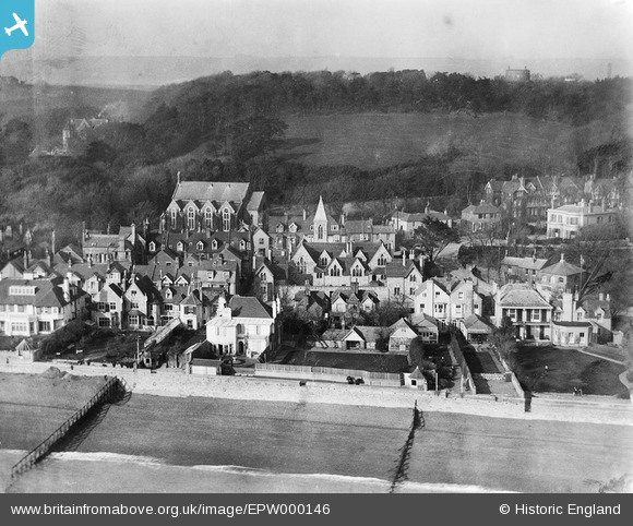
EPW000146 ENGLAND (1920). Castle Road, Sandgate, 1920
© Copyright OpenStreetMap contributors and licensed by the OpenStreetMap Foundation. 2026. Cartography is licensed as CC BY-SA.
Nearby Images (11)
EPW000146

EAW033166

EPW000649

EAW033165

EPW026115

EPW026119

EPW035415

EAW024823

EPW026117

EPW000585

EAW024824

Details
| Title | [EPW000146] Castle Road, Sandgate, 1920 |
| Reference | EPW000146 |
| Date | February-1920 |
| Link | |
| Place name | SANDGATE |
| Parish | SANDGATE |
| District | |
| Country | ENGLAND |
| Easting / Northing | 620757, 135255 |
| Longitude / Latitude | 1.1516698688418, 51.073559146498 |
| National Grid Reference | TR208353 |
