
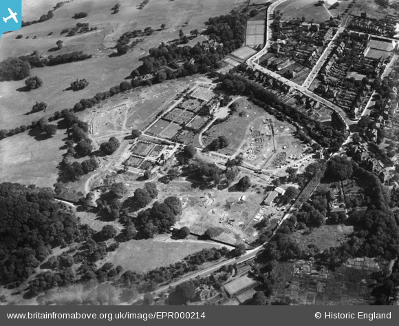
EPR000214 ENGLAND (1934). The Shrewsbury Park Estate under construction, Shooters Hill, 1934
© Copyright OpenStreetMap contributors and licensed by the OpenStreetMap Foundation. 2026. Cartography is licensed as CC BY-SA.
Nearby Images (11)
EPR000214

EPR000215

EPR000126

EPR000219

EPR000120

EPR000217

EPR000216

EPR000218

EPR000123

EPR000124

EPR000121

Details
| Title | [EPR000214] The Shrewsbury Park Estate under construction, Shooters Hill, 1934 |
| Reference | EPR000214 |
| Date | 17-July-1934 |
| Link | |
| Place name | SHOOTERS HILL |
| Parish | |
| District | |
| Country | ENGLAND |
| Easting / Northing | 544088, 177075 |
| Longitude / Latitude | 0.07492495974384, 51.473777717685 |
| National Grid Reference | TQ441771 |
Pins

Shaz |
Thursday 26th of November 2020 02:21:38 AM |