
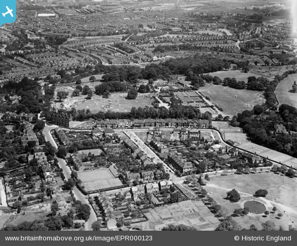
EPR000123 ENGLAND (1934). Eaglesfield Road, Shrewsbury Park and environs, Shooters Hill, 1934
© Copyright OpenStreetMap contributors and licensed by the OpenStreetMap Foundation. 2026. Cartography is licensed as CC BY-SA.
Nearby Images (10)
EPR000123

EPR000216

EPR000219

EPR000217

EPR000218

EPR000120

EPR000215

EPR000126

EPR000124

EPR000214

Details
| Title | [EPR000123] Eaglesfield Road, Shrewsbury Park and environs, Shooters Hill, 1934 |
| Reference | EPR000123 |
| Date | 4-July-1934 |
| Link | |
| Place name | SHOOTERS HILL |
| Parish | |
| District | |
| Country | ENGLAND |
| Easting / Northing | 543988, 176949 |
| Longitude / Latitude | 0.073434579254162, 51.472670861871 |
| National Grid Reference | TQ440769 |
