
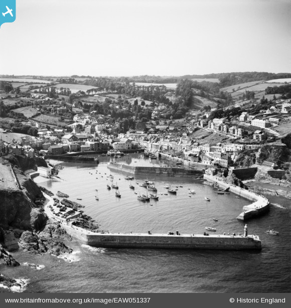
EAW051337 ENGLAND (1953). The village, Victoria Pier and the harbour, Mevagissey, from the south-east, 1953
© Copyright OpenStreetMap contributors and licensed by the OpenStreetMap Foundation. 2026. Cartography is licensed as CC BY-SA.
Nearby Images (15)
EAW051337

EPW021705

EAW277586

EAW051336

EAW051334

EPW021707

EPW021708

EAW051333

EPW021706

EAW051335

EAW047173

EAW021377

EAW047170

EAW040863

EAW053026

Details
| Title | [EAW051337] The village, Victoria Pier and the harbour, Mevagissey, from the south-east, 1953 |
| Reference | EAW051337 |
| Date | 11-August-1953 |
| Link | |
| Place name | MEVAGISSEY |
| Parish | MEVAGISSEY |
| District | |
| Country | ENGLAND |
| Easting / Northing | 201712, 44729 |
| Longitude / Latitude | -4.782789637699, 50.268570576662 |
| National Grid Reference | SX017447 |
Pins
Be the first to add a comment to this image!