
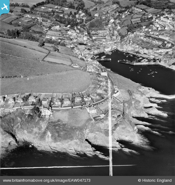
EAW047173 ENGLAND (1952). Polkirt Hill, Mevagissey, 1952. This image was marked by Aerofilms Ltd for photo editing.
© Copyright OpenStreetMap contributors and licensed by the OpenStreetMap Foundation. 2026. Cartography is licensed as CC BY-SA.
Nearby Images (22)
EAW047173

EAW047170

EAW047169

EAW047174

EAW047168

EAW047171

EAW047175

EAW047172

EAW051335

EAW040841

EAW040840

EAW040839

EAW040835

EAW040836

EAW051321

EAW051320

EAW040838

EAW051319

EAW051318

EAW040837

EPW021705

EAW051337

Details
| Title | [EAW047173] Polkirt Hill, Mevagissey, 1952. This image was marked by Aerofilms Ltd for photo editing. |
| Reference | EAW047173 |
| Date | 7-October-1952 |
| Link | |
| Place name | MEVAGISSEY |
| Parish | MEVAGISSEY |
| District | |
| Country | ENGLAND |
| Easting / Northing | 201690, 44497 |
| Longitude / Latitude | -4.7829764368425, 50.266478948971 |
| National Grid Reference | SX017445 |
Pins

CornwallPhil |
Monday 1st of September 2014 09:26:41 PM |
User Comment Contributions

WW2 Firing Position |
CornwallPhil |
Monday 1st of September 2014 09:28:18 PM |