
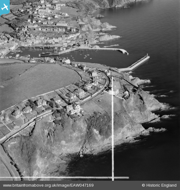
EAW047169 ENGLAND (1952). Polkirt Hill, Mevagissey, 1952. This image was marked by Aerofilms Ltd for photo editing.
© Copyright OpenStreetMap contributors and licensed by the OpenStreetMap Foundation. 2026. Cartography is licensed as CC BY-SA.
Nearby Images (20)
EAW047169

EAW047168

EAW047171

EAW047175

EAW047174

EAW047172

EAW047170

EAW047173

EAW040839

EAW040840

EAW040841

EAW051321

EAW040835

EAW040836

EAW051320

EAW040838

EAW051318

EAW051319

EAW040837

EAW051335

Details
| Title | [EAW047169] Polkirt Hill, Mevagissey, 1952. This image was marked by Aerofilms Ltd for photo editing. |
| Reference | EAW047169 |
| Date | 7-October-1952 |
| Link | |
| Place name | MEVAGISSEY |
| Parish | MEVAGISSEY |
| District | |
| Country | ENGLAND |
| Easting / Northing | 201705, 44447 |
| Longitude / Latitude | -4.7827400031446, 50.266034796686 |
| National Grid Reference | SX017444 |
Pins
Be the first to add a comment to this image!