
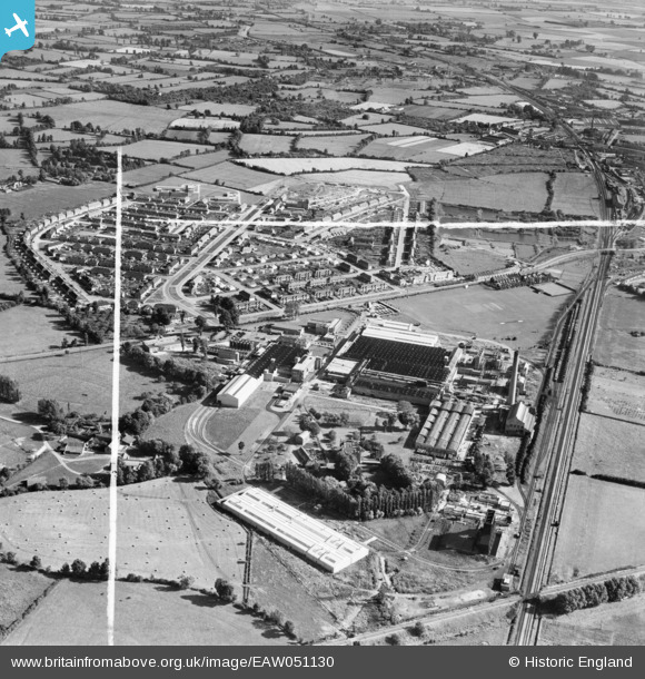
EAW051130 ENGLAND (1953). The British Cellophane Ltd Factory and surrounding area, Bridgwater, 1953. This image was marked by Aerofilms Ltd for photo editing.
© Copyright OpenStreetMap contributors and licensed by the OpenStreetMap Foundation. 2026. Cartography is licensed as CC BY-SA.
Nearby Images (18)
EAW051130

EAW005145

EAW005151

EAW005146

EAW051128

EAW005142

EAW005143

EAW005147

EAW005152

EAW051127

EAW051133

EAW005154

EAW005155

EAW051134

EAW005148

EAW051129

EAW005153

EAW005150

Details
| Title | [EAW051130] The British Cellophane Ltd Factory and surrounding area, Bridgwater, 1953. This image was marked by Aerofilms Ltd for photo editing. |
| Reference | EAW051130 |
| Date | 6-August-1953 |
| Link | |
| Place name | BRIDGWATER |
| Parish | BRIDGWATER |
| District | |
| Country | ENGLAND |
| Easting / Northing | 331191, 138094 |
| Longitude / Latitude | -2.9836232011967, 51.137451924249 |
| National Grid Reference | ST312381 |
Pins

Matt Aldred edob.mattaldred.com |
Sunday 7th of March 2021 02:52:34 PM | |
|
Matt Aldred edob.mattaldred.com |
Sunday 7th of March 2021 02:50:33 PM | |
|
Matt Aldred edob.mattaldred.com |
Sunday 7th of March 2021 02:50:10 PM | |

Sparky |
Saturday 28th of October 2017 04:42:29 PM |