
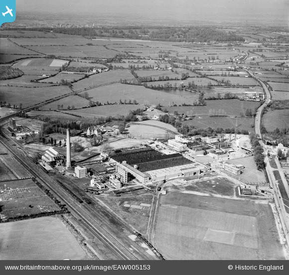
EAW005153 ENGLAND (1947). The British Cellophane Ltd Factory and the surrounding countryside, Bridgwater, from the south-west, 1947
© Copyright OpenStreetMap contributors and licensed by the OpenStreetMap Foundation. 2026. Cartography is licensed as CC BY-SA.
Nearby Images (7)
EAW005153

EAW005148

EAW051127

EAW051128

EAW005145

EAW051130

EAW005142

Details
| Title | [EAW005153] The British Cellophane Ltd Factory and the surrounding countryside, Bridgwater, from the south-west, 1947 |
| Reference | EAW005153 |
| Date | 7-September-1947 |
| Link | |
| Place name | BRIDGWATER |
| Parish | BRIDGWATER |
| District | |
| Country | ENGLAND |
| Easting / Northing | 330966, 137978 |
| Longitude / Latitude | -2.9868168243853, 51.136381792291 |
| National Grid Reference | ST310380 |
Pins

cptpies |
Friday 20th of December 2013 09:08:19 AM | |
|
cptpies |
Friday 20th of December 2013 09:08:08 AM | |
|
cptpies |
Friday 20th of December 2013 09:07:45 AM | |
|
totoro |
Thursday 3rd of October 2013 10:39:57 PM | |
|
totoro |
Thursday 3rd of October 2013 10:39:42 PM | |
|
totoro |
Thursday 3rd of October 2013 10:39:15 PM |

