
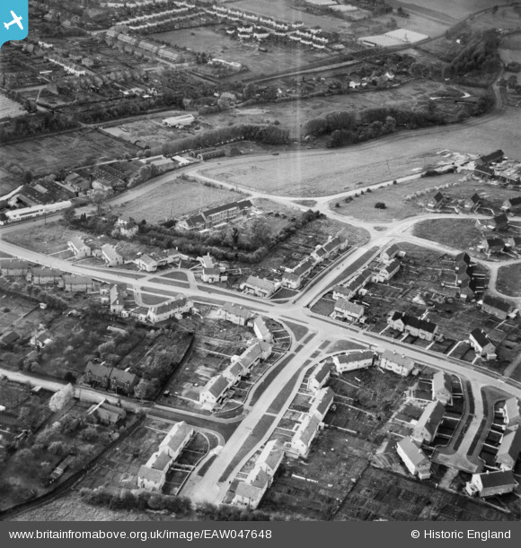
EAW047648 ENGLAND (1952). New housing surrounding Pickford Hill, Batford, 1952
© Copyright OpenStreetMap contributors and licensed by the OpenStreetMap Foundation. 2026. Cartography is licensed as CC BY-SA.
Nearby Images (12)
EAW047648

EAW047645

EAW047654

EPW005299

EPW005298

EAW047647
 and new housing surrounding Pickford Hill, Batford, 1952")
EPW005301

EAW047655

EAW047646
 and new housing surrounding Pickford Hill, Batford, 1952")
EPW005300

EPW005303

EAW047656

Details
| Title | [EAW047648] New housing surrounding Pickford Hill, Batford, 1952 |
| Reference | EAW047648 |
| Date | 27-October-1952 |
| Link | |
| Place name | BATFORD |
| Parish | HARPENDEN |
| District | |
| Country | ENGLAND |
| Easting / Northing | 514446, 215540 |
| Longitude / Latitude | -0.33912495092635, 51.826295746269 |
| National Grid Reference | TL144155 |
Pins
Be the first to add a comment to this image!