
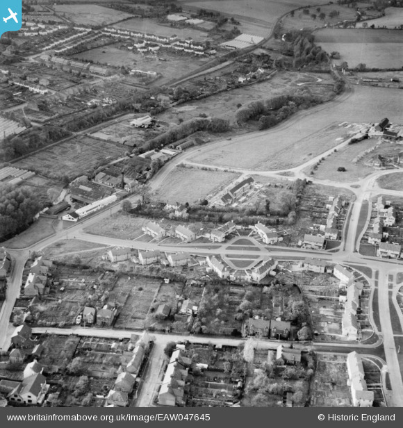
EAW047645 ENGLAND (1952). New housing surrounding Pickford Hill, Batford, 1952
© Copyright OpenStreetMap contributors and licensed by the OpenStreetMap Foundation. 2026. Cartography is licensed as CC BY-SA.
Nearby Images (10)
EAW047645

EPW005299

EPW005298

EAW047648

EPW005301

EPW005300

EPW005303

EAW047654

EAW047655

EAW047647
 and new housing surrounding Pickford Hill, Batford, 1952")
Details
| Title | [EAW047645] New housing surrounding Pickford Hill, Batford, 1952 |
| Reference | EAW047645 |
| Date | 27-October-1952 |
| Link | |
| Place name | BATFORD |
| Parish | HARPENDEN |
| District | |
| Country | ENGLAND |
| Easting / Northing | 514368, 215508 |
| Longitude / Latitude | -0.34026697150352, 51.826024098499 |
| National Grid Reference | TL144155 |
Pins

John W |
Sunday 5th of March 2017 08:25:18 PM | |
|
Walksleader |
Sunday 5th of October 2014 02:42:40 PM | |
|
Walksleader |
Sunday 5th of October 2014 02:42:14 PM | |
|
Walksleader |
Sunday 5th of October 2014 02:41:42 PM | |
|
Walksleader |
Sunday 5th of October 2014 02:41:15 PM | |
|
Walksleader |
Wednesday 27th of August 2014 08:52:03 PM | |
|
Walksleader |
Wednesday 27th of August 2014 08:45:25 PM |