
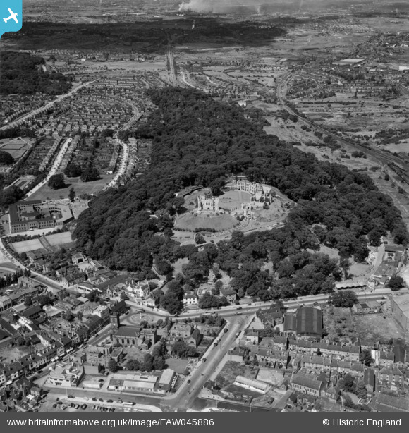
EAW045886 ENGLAND (1952). Dudley Castle and environs, Dudley, 1952
© Copyright OpenStreetMap contributors and licensed by the OpenStreetMap Foundation. 2026. Cartography is licensed as CC BY-SA.
Nearby Images (24)
EAW045886

EAW007502

EAW001193

EAW007506

EAW001195

EAW007501

EPW022573

EAW045887

EAW007504

EAW007507

EAW001194

EAW007503

EAW007505

EAW045888

EAW045890

EAW045891

EAW001196

EAW001192

EPW011848

EAW049880

EAW045889

EPW022574

EAW049883

EPW053074

Details
| Title | [EAW045886] Dudley Castle and environs, Dudley, 1952 |
| Reference | EAW045886 |
| Date | 14-August-1952 |
| Link | |
| Place name | DUDLEY |
| Parish | |
| District | |
| Country | ENGLAND |
| Easting / Northing | 394671, 290680 |
| Longitude / Latitude | -2.0785344607953, 52.513616112276 |
| National Grid Reference | SO947907 |
Pins
Be the first to add a comment to this image!