
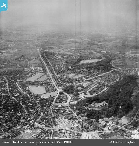
EAW049883 ENGLAND (1953). Dudley Castle and the Priory and Wren's Nest Estates, Dudley, from the south-east, 1953
© Copyright OpenStreetMap contributors and licensed by the OpenStreetMap Foundation. 2026. Cartography is licensed as CC BY-SA.
Nearby Images (18)
EAW049883

EAW049880

EPW053074

EAW045889

EPW011848

EAW007502

EAW001193

EAW045886

EAW045887

EAW001194

EPW022573

EAW007506

EAW001195

EAW007501

EAW007507

EAW007503

EAW007505

EAW045888

Details
| Title | [EAW049883] Dudley Castle and the Priory and Wren's Nest Estates, Dudley, from the south-east, 1953 |
| Reference | EAW049883 |
| Date | 11-June-1953 |
| Link | |
| Place name | DUDLEY |
| Parish | |
| District | |
| Country | ENGLAND |
| Easting / Northing | 394438, 290605 |
| Longitude / Latitude | -2.0819669665572, 52.512939462904 |
| National Grid Reference | SO944906 |
Pins

fisha519 |
Saturday 3rd of October 2020 05:01:17 PM | |
|
ian-nl |
Friday 22nd of August 2014 10:58:56 AM | |
|
ian-nl |
Friday 22nd of August 2014 10:55:40 AM | |
|
ian-nl |
Friday 22nd of August 2014 10:53:29 AM | |
|
ian-nl |
Friday 22nd of August 2014 10:47:50 AM | |
|
ian-nl |
Friday 22nd of August 2014 10:46:34 AM |