
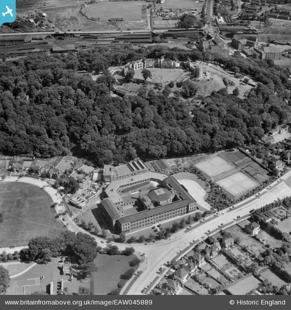
EAW045889 ENGLAND (1952). Dudley and Staffordshire Technical College and Dudley Castle, Dudley, 1952
© Copyright OpenStreetMap contributors and licensed by the OpenStreetMap Foundation. 2026. Cartography is licensed as CC BY-SA.
Nearby Images (22)
EAW045889

EAW049880

EAW001194

EAW045888

EAW045887

EAW007505

EAW007503

EAW007507

EPW022573

EAW001193

EAW007502

EAW045886

EAW007501

EAW007506

EAW001195

EAW007504

EAW001196

EAW049883

EAW045891

EAW045890

EAW001192

EPW011848

Details
| Title | [EAW045889] Dudley and Staffordshire Technical College and Dudley Castle, Dudley, 1952 |
| Reference | EAW045889 |
| Date | 14-August-1952 |
| Link | |
| Place name | DUDLEY |
| Parish | |
| District | |
| Country | ENGLAND |
| Easting / Northing | 394526, 290769 |
| Longitude / Latitude | -2.0806728158039, 52.514414869323 |
| National Grid Reference | SO945908 |
Pins
Be the first to add a comment to this image!