
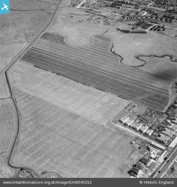
EAW045312 ENGLAND (1952). The fields adjacent to Miramar Avenue, Canvey Island, 1952
© Copyright OpenStreetMap contributors and licensed by the OpenStreetMap Foundation. 2026. Cartography is licensed as CC BY-SA.
Nearby Images (6)
EAW045312

EAW045313

EAW026928

EAW026929

EAW045314

EAW045331

Details
| Title | [EAW045312] The fields adjacent to Miramar Avenue, Canvey Island, 1952 |
| Reference | EAW045312 |
| Date | 2-August-1952 |
| Link | |
| Place name | CANVEY ISLAND |
| Parish | CANVEY ISLAND |
| District | |
| Country | ENGLAND |
| Easting / Northing | 578464, 183480 |
| Longitude / Latitude | 0.57270836404428, 51.521518338731 |
| National Grid Reference | TQ785835 |
Pins
Be the first to add a comment to this image!