
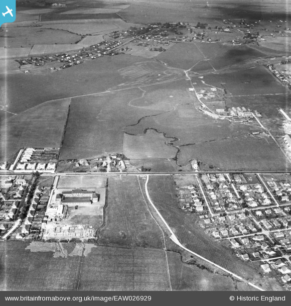
EAW026929 ENGLAND (1949). Canvey County Junior School, Southwick Farm and the surrounding area, Canvey Island, 1949
© Copyright OpenStreetMap contributors and licensed by the OpenStreetMap Foundation. 2026. Cartography is licensed as CC BY-SA.
Nearby Images (6)
EAW026929

EAW045314

EAW045311

EAW045312

EAW045331

EAW051028

Details
| Title | [EAW026929] Canvey County Junior School, Southwick Farm and the surrounding area, Canvey Island, 1949 |
| Reference | EAW026929 |
| Date | 2-October-1949 |
| Link | |
| Place name | CANVEY ISLAND |
| Parish | CANVEY ISLAND |
| District | |
| Country | ENGLAND |
| Easting / Northing | 578657, 183373 |
| Longitude / Latitude | 0.57543334345624, 51.520496097516 |
| National Grid Reference | TQ787834 |
Pins

redmist |
Wednesday 1st of February 2023 11:22:26 PM | |
|
redmist |
Wednesday 1st of February 2023 11:21:49 PM |