
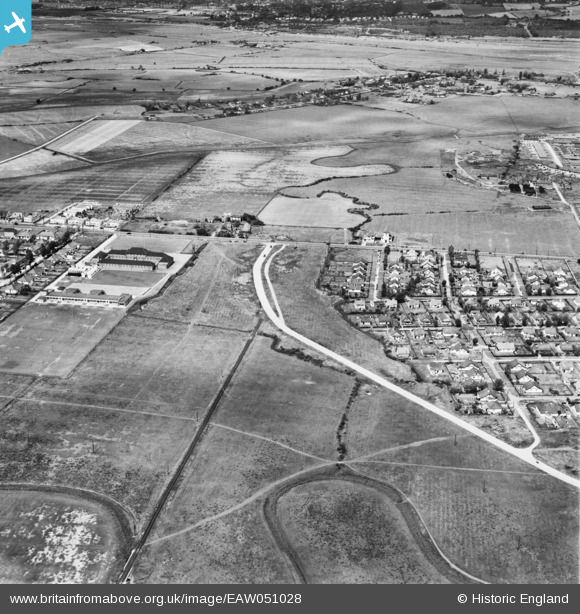
EAW051028 ENGLAND (1953). Thorney Bay Road and environs, Canvey Island, 1953
© Copyright OpenStreetMap contributors and licensed by the OpenStreetMap Foundation. 2026. Cartography is licensed as CC BY-SA.
Nearby Images (5)
EAW051028

EAW045311

EAW051029

EAW026929

EAW045332

Details
| Title | [EAW051028] Thorney Bay Road and environs, Canvey Island, 1953 |
| Reference | EAW051028 |
| Date | 3-August-1953 |
| Link | |
| Place name | CANVEY ISLAND |
| Parish | CANVEY ISLAND |
| District | |
| Country | ENGLAND |
| Easting / Northing | 578699, 183133 |
| Longitude / Latitude | 0.57591642511691, 51.518326798951 |
| National Grid Reference | TQ787831 |
Pins
Be the first to add a comment to this image!