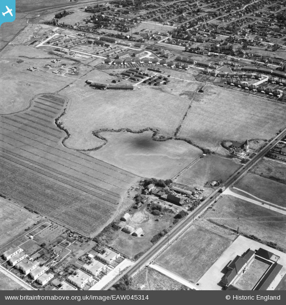
EAW045314 ENGLAND (1952). Fields and housing around Long Road and Southwick Farm, Canvey Island, 1952
    © Copyright OpenStreetMap contributors and licensed by the OpenStreetMap Foundation. 2025. Cartography is licensed as CC BY-SA.
  
Nearby Images (6)
Details
| Title | [EAW045314] Fields and housing around Long Road and Southwick Farm, Canvey Island, 1952 | 
| Reference | EAW045314 | 
| Date | 2-August-1952 | 
| Link | |
| Place name | CANVEY ISLAND | 
| Parish | CANVEY ISLAND | 
| District | |
| Country | ENGLAND | 
| Easting / Northing | 578684, 183393 | 
| Longitude / Latitude | 0.5758322818719, 51.520667223795 | 
| National Grid Reference | TQ787834 | 
Pins
|  Furtherwick TN7 WW2 Anti Aircraft HAA Battery.  Still in existance, skate park known locally as the Gunney there now |   robert | Saturday 20th of October 2018 02:57:29 AM | 
|  Furtherwick TN7 WW2 Anti Aircraft Army camp Guard House.  now demolished |   robert | Saturday 20th of October 2018 02:56:22 AM | 
|  Furtherwick TN7 WW2 Anti Aircraft Army camp.  Now demolished |   robert | Saturday 20th of October 2018 02:55:32 AM | 
 
             
  ![[EAW045314] Fields and housing around Long Road and Southwick Farm, Canvey Island, 1952](http://britainfromabove.org.uk/sites/all/libraries/aerofilms-images/public/100x100/EAW/045/EAW045314.jpg) 
  
                                          ![[EAW026929] Canvey County Junior School, Southwick Farm and the surrounding area, Canvey Island, 1949](http://britainfromabove.org.uk/sites/all/libraries/aerofilms-images/public/100x100/EAW/026/EAW026929.jpg) 
 ![[EAW045311] The Catholic Church of our Lady and the English Martyrs and surrounding fields and housing off Long Road, Canvey Island, 1952](http://britainfromabove.org.uk/sites/all/libraries/aerofilms-images/public/100x100/EAW/045/EAW045311.jpg) 
 ![[EAW045331] Long Road and the residential area around The Lake, Canvey Island, 1952](http://britainfromabove.org.uk/sites/all/libraries/aerofilms-images/public/100x100/EAW/045/EAW045331.jpg) 
 ![[EAW045312] The fields adjacent to Miramar Avenue, Canvey Island, 1952](http://britainfromabove.org.uk/sites/all/libraries/aerofilms-images/public/100x100/EAW/045/EAW045312.jpg) 
 ![[EAW045332] The town, Canvey Island, 1952](http://britainfromabove.org.uk/sites/all/libraries/aerofilms-images/public/100x100/EAW/045/EAW045332.jpg)