
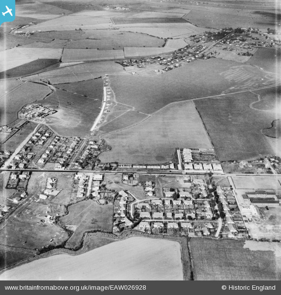
EAW026928 ENGLAND (1949). The residential area surrounding Hawkesbury Road and Long Road, Canvey Island, 1949
© Copyright OpenStreetMap contributors and licensed by the OpenStreetMap Foundation. 2026. Cartography is licensed as CC BY-SA.
Nearby Images (3)
EAW026928

EAW045313

EAW045312

Details
| Title | [EAW026928] The residential area surrounding Hawkesbury Road and Long Road, Canvey Island, 1949 |
| Reference | EAW026928 |
| Date | 2-October-1949 |
| Link | |
| Place name | CANVEY ISLAND |
| Parish | CANVEY ISLAND |
| District | |
| Country | ENGLAND |
| Easting / Northing | 578347, 183368 |
| Longitude / Latitude | 0.57096684572664, 51.520549155321 |
| National Grid Reference | TQ783834 |
Pins
Be the first to add a comment to this image!