
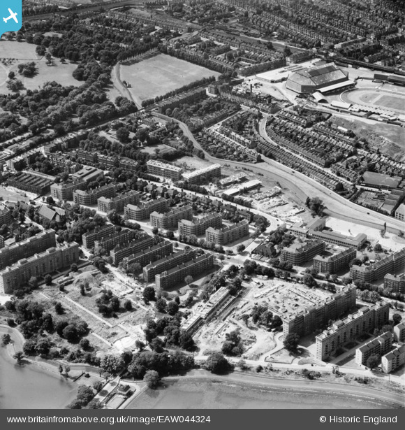
EAW044324 ENGLAND (1952). The Woodberry Down Estate, Stamford Hill, 1952
© Copyright OpenStreetMap contributors and licensed by the OpenStreetMap Foundation. 2026. Cartography is licensed as CC BY-SA.
Nearby Images (16)
EAW044324

EAW044317

EAW044320

EAW044314

EAW044312

EAW044318

EAW044325

EAW044322

EAW035110

EAW044319

EAW035111

EPW007024

EPW007025

EAW044313

EAW035109

EAW035115

Details
| Title | [EAW044324] The Woodberry Down Estate, Stamford Hill, 1952 |
| Reference | EAW044324 |
| Date | 24-June-1952 |
| Link | |
| Place name | STAMFORD HILL |
| Parish | |
| District | |
| Country | ENGLAND |
| Easting / Northing | 532304, 187733 |
| Longitude / Latitude | -0.090660579429078, 51.572445307912 |
| National Grid Reference | TQ323877 |
Pins
Be the first to add a comment to this image!