
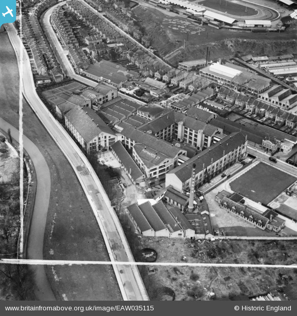
EAW035115 ENGLAND (1951). Maynards Ltd Confectionery Works, Harringay, 1951. This image was marked by Aerofilms Ltd for photo editing.
© Copyright OpenStreetMap contributors and licensed by the OpenStreetMap Foundation. 2026. Cartography is licensed as CC BY-SA.
Nearby Images (34)
EAW035115

EAW035109

EAW035119

EPW007023

EAW035117

EAW035118

EPW007021

EAW035116

EPW007022

EPW007024

EPW007025

EAW035113

EAW035114

EPW007020

EAW035112

EAW035110

EAW035111

EAW028530
 on Eade Road and the Maynards Confectionery Works, Tottenham, 1950. This image has been produced from a print marked by Aerofilms Ltd for photo editing.")
EAW044312

EAW028532
 on Eade Road and the Maynards Confectionery Works, Tottenham, 1950. This image was marked by Aerofilms Ltd for photo editing.")
EPW044027

EAW028531
 on Eade Road and the Maynards Confectionery Works, Tottenham, 1950. This image was marked by Aerofilms Ltd for photo editing.")
EAW028533
 on Eade Road, Tottenham, 1950. This image was marked by Aerofilms Ltd for photo editing.")
EPW044026

EAW028535
 on Eade Road, Tottenham, 1950. This image was marked by Aerofilms Ltd for photo editing.")
EPW044096

EAW044315

EPW044095

EPW044029

EAW044314

EPW044028

EAW044325

EAW044321

EAW044324

Details
| Title | [EAW035115] Maynards Ltd Confectionery Works, Harringay, 1951. This image was marked by Aerofilms Ltd for photo editing. |
| Reference | EAW035115 |
| Date | 28-March-1951 |
| Link | |
| Place name | HARRINGAY |
| Parish | |
| District | |
| Country | ENGLAND |
| Easting / Northing | 532462, 187970 |
| Longitude / Latitude | -0.088292393536743, 51.574538211325 |
| National Grid Reference | TQ325880 |
Pins
Be the first to add a comment to this image!