
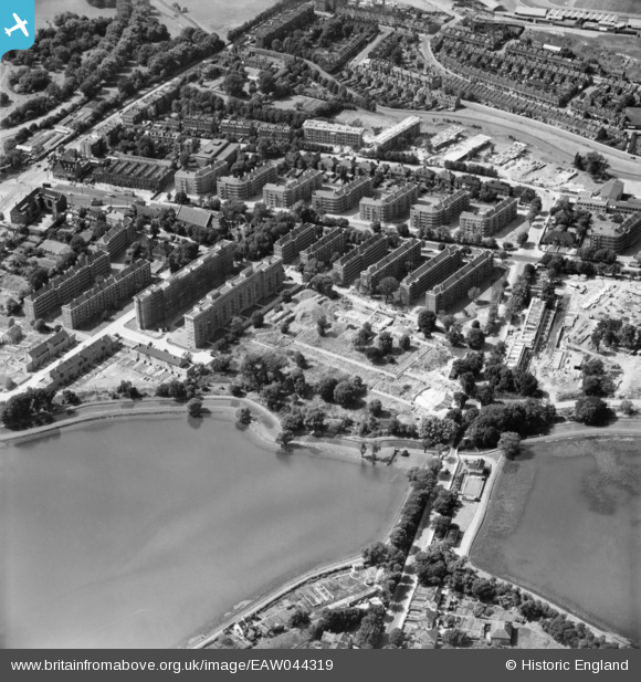
EAW044319 ENGLAND (1952). Lordship Road Bridge and the Woodberry Down Estate, Stamford Hill, 1952
© Copyright OpenStreetMap contributors and licensed by the OpenStreetMap Foundation. 2026. Cartography is licensed as CC BY-SA.
Nearby Images (9)
EAW044319

EAW044317

EAW044320

EAW044322

EAW044313

EAW044318

EAW044316

EAW044324

EAW044311

Details
| Title | [EAW044319] Lordship Road Bridge and the Woodberry Down Estate, Stamford Hill, 1952 |
| Reference | EAW044319 |
| Date | 24-June-1952 |
| Link | |
| Place name | STAMFORD HILL |
| Parish | |
| District | |
| Country | ENGLAND |
| Easting / Northing | 532380, 187488 |
| Longitude / Latitude | -0.089656774278326, 51.570225553007 |
| National Grid Reference | TQ324875 |
Pins
Be the first to add a comment to this image!