
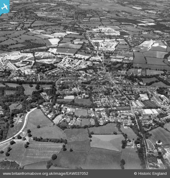
EAW037052 ENGLAND (1951). The town, Crawley, 1951. This image has been produced from a print.
© Copyright OpenStreetMap contributors and licensed by the OpenStreetMap Foundation. 2026. Cartography is licensed as CC BY-SA.
Nearby Images (11)
EAW037052

EPW001481

EPW028574

EAW011068

EPW028571

EAW011067

EAW041928

EPW028572

EPW001485

EPW001483

EAW011066

Details
| Title | [EAW037052] The town, Crawley, 1951. This image has been produced from a print. |
| Reference | EAW037052 |
| Date | 11-June-1951 |
| Link | |
| Place name | CRAWLEY |
| Parish | |
| District | |
| Country | ENGLAND |
| Easting / Northing | 526521, 136410 |
| Longitude / Latitude | -0.19231584625255, 51.112470442589 |
| National Grid Reference | TQ265364 |
