
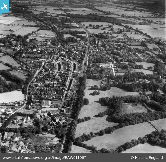
EAW011067 ENGLAND (1947). The town, Crawley, 1947
© Copyright OpenStreetMap contributors and licensed by the OpenStreetMap Foundation. 2026. Cartography is licensed as CC BY-SA.
Nearby Images (7)
EAW011067

EPW028571

EAW011068

EPW028570

EAW041929

EAW037052

EAW037054

Details
| Title | [EAW011067] The town, Crawley, 1947 |
| Reference | EAW011067 |
| Date | 25-September-1947 |
| Link | |
| Place name | CRAWLEY |
| Parish | |
| District | |
| Country | ENGLAND |
| Easting / Northing | 526306, 136454 |
| Longitude / Latitude | -0.19537064193196, 51.112913377671 |
| National Grid Reference | TQ263365 |
Pins

jimbo20 |
Thursday 25th of June 2015 09:22:44 PM |