
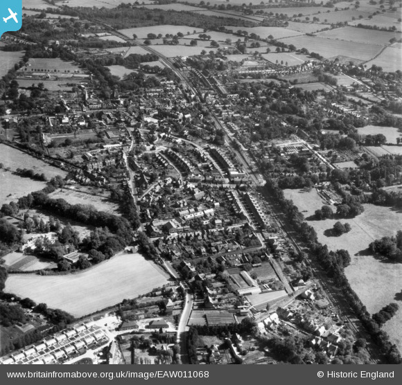
EAW011068 ENGLAND (1947). The town, Crawley, 1947
© Copyright OpenStreetMap contributors and licensed by the OpenStreetMap Foundation. 2026. Cartography is licensed as CC BY-SA.
Nearby Images (8)
EAW011068

EPW028571

EAW011067

EAW037054

EPW028570

EAW041929

EAW037052

EAW041931

Details
| Title | [EAW011068] The town, Crawley, 1947 |
| Reference | EAW011068 |
| Date | 25-September-1947 |
| Link | |
| Place name | CRAWLEY |
| Parish | |
| District | |
| Country | ENGLAND |
| Easting / Northing | 526354, 136544 |
| Longitude / Latitude | -0.19465366204061, 51.113711771389 |
| National Grid Reference | TQ264365 |
Pins

jimbo20 |
Wednesday 1st of July 2015 08:55:42 AM |