
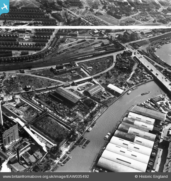
EAW035492 ENGLAND (1951). Crown Wharf, Canning Town, 1951. This image has been produced from a print marked by Aerofilms Ltd for photo editing.
© Copyright OpenStreetMap contributors and licensed by the OpenStreetMap Foundation. 2026. Cartography is licensed as CC BY-SA.
Nearby Images (26)
EAW035492

EAW035493

EAW035491

EAW035490

EAW035485

EAW035486

EAW035487

EAW037178

EAW035489

EAW035488

EAW037186

EAW037184

EAW037177

EAW037180

EAW035478

EAW037183

EAW035479

EAW037179

EAW037185

EAW037181

EAW035480

EAW035481

EAW035484

EAW035482

EAW035483

EAW035477

Details
| Title | [EAW035492] Crown Wharf, Canning Town, 1951. This image has been produced from a print marked by Aerofilms Ltd for photo editing. |
| Reference | EAW035492 |
| Date | 17-April-1951 |
| Link | |
| Place name | CANNING TOWN |
| Parish | |
| District | |
| Country | ENGLAND |
| Easting / Northing | 539140, 181630 |
| Longitude / Latitude | 0.0055157886699224, 51.515952248981 |
| National Grid Reference | TQ391816 |
Pins
Be the first to add a comment to this image!
User Comment Contributions
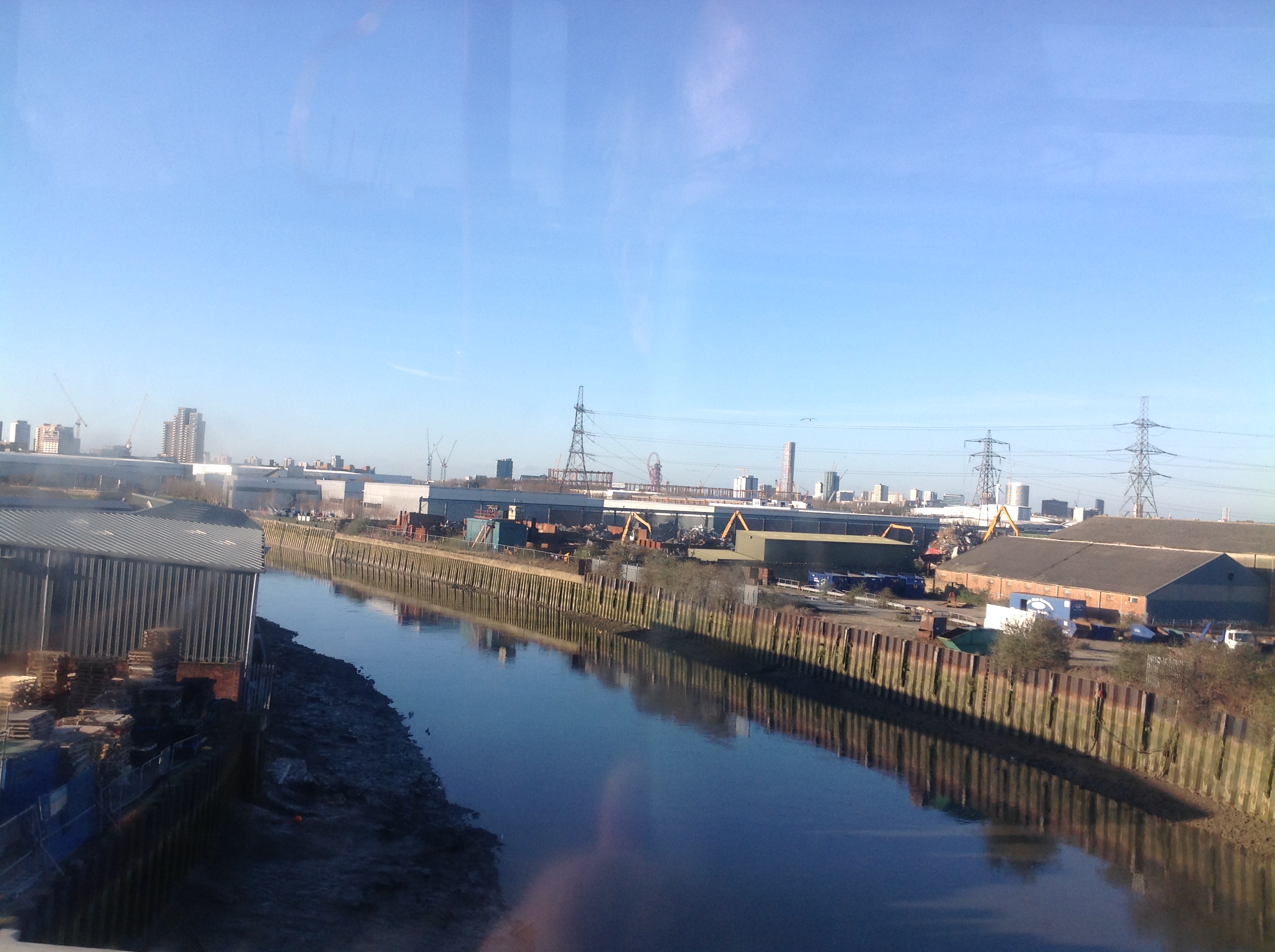
Crown Wharf, Bow Creek, 17/02/2015. Looking north west. |

Class31 |
Saturday 28th of February 2015 08:09:34 AM |