
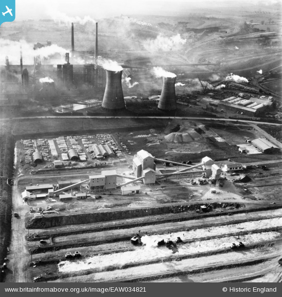
EAW034821 ENGLAND (1951). Part of the John Lysaght Normanby Park Steel Works, Scunthorpe, 1951. This image has been produced from a print.
© Copyright OpenStreetMap contributors and licensed by the OpenStreetMap Foundation. 2026. Cartography is licensed as CC BY-SA.
Nearby Images (48)
EAW034821

EAW034828

EAW021138

EAW031183

EPW048946

EAW027178

EAW013488

EAW021137

EAW028570

EAW028571

EAW013834

EAW013831

EAW021132

EAW013832

EPW048948

EAW031173

EAW013833

EAW034829

EAW013490

EAW009626

EPW048950

EAW041828

EAW028583

EAW038771

EAW016662

EAW019669

EAW028575

EAW009411

EAW049671

EAW009637

EAW013489

EAW016658

EAW034811

EAW038746

EAW041851

EAW038776

EPW048523

EAW038766

EAW041846

EAW041848

EAW031188

EPW048528

EAW038778

EAW034824

EAW041845

EAW041847

EPW048530

EAW031187

Details
| Title | [EAW034821] Part of the John Lysaght Normanby Park Steel Works, Scunthorpe, 1951. This image has been produced from a print. |
| Reference | EAW034821 |
| Date | 27-February-1951 |
| Link | |
| Place name | SCUNTHORPE |
| Parish | |
| District | |
| Country | ENGLAND |
| Easting / Northing | 488956, 414176 |
| Longitude / Latitude | -0.6550881918521, 53.616329064562 |
| National Grid Reference | SE890142 |
Pins
Be the first to add a comment to this image!