
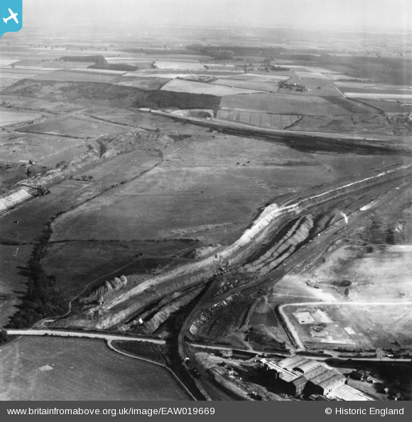
EAW019669 ENGLAND (1948). The John Lysaght Normanby Park Steel Works Opencast Ironstone Quarry, Scunthorpe, from the west, 1948. This image has been produced from a print.
© Copyright OpenStreetMap contributors and licensed by the OpenStreetMap Foundation. 2026. Cartography is licensed as CC BY-SA.
Nearby Images (34)
EAW019669

EAW019673

EAW021132

EPW048529

EAW021136

EAW021137

EAW013488

EAW023926

EAW041828

EAW031183

EAW027184

EAW027183

EAW021138

EAW028570

EAW034828

EAW013833

EAW013834

EAW034821

EAW021139

EAW019675

EAW028571

EAW034819

EAW031182

EAW038752

EAW041863

EPW048946

EAW028581

EPW048530

EAW031181

EAW027182

EAW034823

EAW013831

EAW038750

EAW038751

Details
| Title | [EAW019669] The John Lysaght Normanby Park Steel Works Opencast Ironstone Quarry, Scunthorpe, from the west, 1948. This image has been produced from a print. |
| Reference | EAW019669 |
| Date | 5-October-1948 |
| Link | |
| Place name | SCUNTHORPE |
| Parish | |
| District | |
| Country | ENGLAND |
| Easting / Northing | 488958, 414402 |
| Longitude / Latitude | -0.65499339601498, 53.61835974303 |
| National Grid Reference | SE890144 |
Pins
 |

redmist |
Thursday 31st of January 2019 11:05:44 PM |