
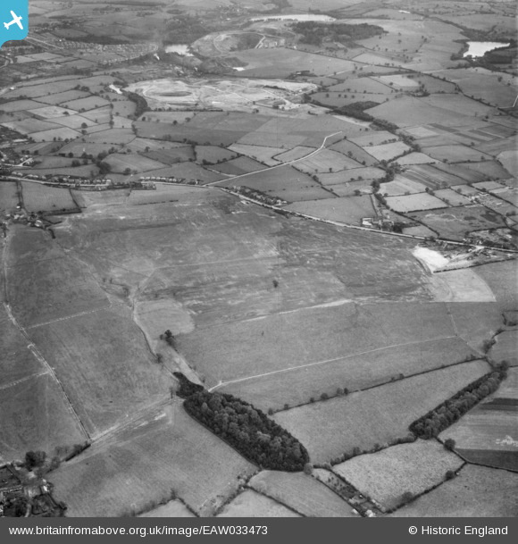
EAW033473 ENGLAND (1950). Restored opencast mining site near Carrington's Farm, Flamstead Plantation and environs, Denby Village, 1950
© Copyright OpenStreetMap contributors and licensed by the OpenStreetMap Foundation. 2026. Cartography is licensed as CC BY-SA.
Nearby Images (48)
EAW033473

EAW033474

EAW025912

EAW018415

EAW012052

EAW017963

EAW011236

EAW018411

EAW012039

EAW011243

EAW011237

EAW011239

EAW011246

EAW011235

EAW018401

EAW012040

EAW011241

EAW012053

EAW018412

EAW017986

EAW017954

EAW011234

EAW012054

EAW011249

EAW017955

EAW011238

EAW018416

EAW018402

EAW025923

EAW033469

EAW011226

EAW033472

EAW025920

EAW011225

EAW017985

EAW033471

EAW033470

EPW048666

EAW018413

EAW011250

EAW011248

EAW017962

EAW018407

EAW018406

EAW011224

EAW012050

EAW011252

EPW048664

Details
| Title | [EAW033473] Restored opencast mining site near Carrington's Farm, Flamstead Plantation and environs, Denby Village, 1950 |
| Reference | EAW033473 |
| Date | 11-October-1950 |
| Link | |
| Place name | DENBY VILLAGE |
| Parish | SMALLEY |
| District | |
| Country | ENGLAND |
| Easting / Northing | 441181, 345509 |
| Longitude / Latitude | -1.3862357941045, 53.005002971015 |
| National Grid Reference | SK412455 |


