
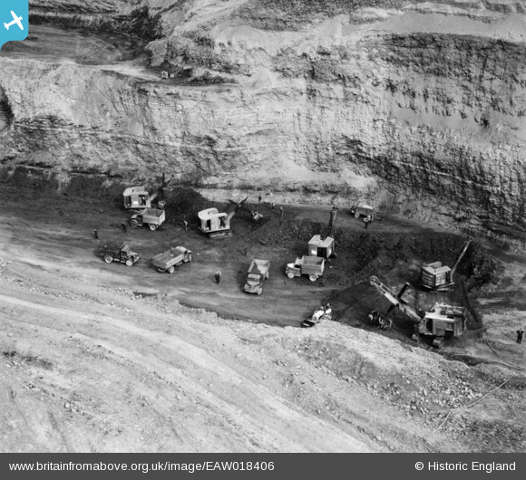
EAW018406 ENGLAND (1948). An opencast mining site to the north of the village, Smalley, 1948
© Copyright OpenStreetMap contributors and licensed by the OpenStreetMap Foundation. 2026. Cartography is licensed as CC BY-SA.
Nearby Images (48)
EAW018406

EPW048665

EAW011247

EAW011240

EAW011242

EAW018407

EAW011250

EPW048666

EAW018413

EAW011248

EAW017962

EAW012050

EAW025920

EAW012046

EAW017953

EAW025923

EAW017985

EAW012045

EAW018402

EAW011249

EAW012054

EAW012056

EAW018416

EAW017948

EAW018412

EAW012043

EAW018401

EAW011246

EAW017955

EAW017954

EAW011241

EAW018411

EAW012053

EPW048664

EAW011239

EAW011237

EAW025913

EAW011234

EAW011236

EAW018415

EAW011235

EAW025912

EAW012049

EAW012052

EAW017963

EAW018408

EAW033473

EAW033474

Details
| Title | [EAW018406] An opencast mining site to the north of the village, Smalley, 1948 |
| Reference | EAW018406 |
| Date | 31-August-1948 |
| Link | |
| Place name | SMALLEY |
| Parish | SMALLEY |
| District | |
| Country | ENGLAND |
| Easting / Northing | 441210, 345266 |
| Longitude / Latitude | -1.3858346085688, 53.002816243872 |
| National Grid Reference | SK412453 |
Pins

Billy Turner |
Thursday 1st of December 2016 07:48:21 PM | |
|
Billy Turner |
Thursday 1st of December 2016 07:16:54 PM | |
|
Billy Turner |
Thursday 1st of December 2016 07:05:27 PM | |
|
Billy Turner |
Thursday 1st of December 2016 06:46:37 PM | |
|
Billy Turner |
Thursday 1st of December 2016 06:46:05 PM | |

Class31 |
Thursday 9th of January 2014 11:42:11 AM |


User Comment Contributions
This almost looks like a set of Dinky models! |
Class31 |
Thursday 9th of January 2014 11:43:24 AM |