
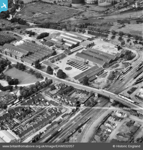
EAW032057 ENGLAND (1950). The Britannia Iron and Steel Works, Bedford, 1950. This image was marked by Aerofilms Ltd for photo editing.
© Copyright OpenStreetMap contributors and licensed by the OpenStreetMap Foundation. 2026. Cartography is licensed as CC BY-SA.
Nearby Images (19)
EAW032057

EAW032053

EAW032056

EPW045605

EAW032054

EAW032060

EAW032062

EAW032051

EPW045530

EAW032063

EPW045525

EAW032059

EPW045529

EAW032058

EPW026475

EPW022392

EPW046443

EPW045528

EAW032055

Details
| Title | [EAW032057] The Britannia Iron and Steel Works, Bedford, 1950. This image was marked by Aerofilms Ltd for photo editing. |
| Reference | EAW032057 |
| Date | 23-August-1950 |
| Link | |
| Place name | BEDFORD |
| Parish | |
| District | |
| Country | ENGLAND |
| Easting / Northing | 504641, 249079 |
| Longitude / Latitude | -0.47113118375372, 52.129686995671 |
| National Grid Reference | TL046491 |
Pins

peter |
Sunday 4th of May 2014 03:43:40 PM | |
|
peter |
Sunday 4th of May 2014 03:31:36 PM | |
|
peter |
Sunday 4th of May 2014 02:10:57 PM | |
|
peter |
Sunday 4th of May 2014 02:08:05 PM |