
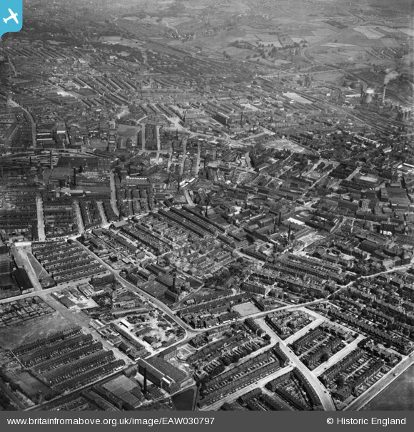
EAW030797 ENGLAND (1950). The city centre, Bradford, 1950
© Copyright OpenStreetMap contributors and licensed by the OpenStreetMap Foundation. 2026. Cartography is licensed as CC BY-SA.
Nearby Images (11)
EAW030797

EPW054306

EPW054299

EPW054303

EPW054301

EPW054302

EPW054298

EPW051229

EPW054300

EPW054304

EPW054305

Details
| Title | [EAW030797] The city centre, Bradford, 1950 |
| Reference | EAW030797 |
| Date | 28-June-1950 |
| Link | |
| Place name | BRADFORD |
| Parish | |
| District | |
| Country | ENGLAND |
| Easting / Northing | 415423, 433162 |
| Longitude / Latitude | -1.7658421413452, 53.794324641659 |
| National Grid Reference | SE154332 |
Pins

danimo77 |
Thursday 5th of June 2014 06:20:28 PM |