
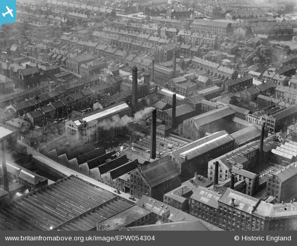
EPW054304 ENGLAND (1937). The Atlas Wool Combing Mills and surrounding streets, Bradford, 1937
© Copyright OpenStreetMap contributors and licensed by the OpenStreetMap Foundation. 2026. Cartography is licensed as CC BY-SA.
Nearby Images (10)
EPW054304

EPW054300

EPW054298

EPW054302

EPW054301

EPW054303

EPW054305

EPW054306

EPW054299

EAW030797

Details
| Title | [EPW054304] The Atlas Wool Combing Mills and surrounding streets, Bradford, 1937 |
| Reference | EPW054304 |
| Date | 14-July-1937 |
| Link | |
| Place name | BRADFORD |
| Parish | |
| District | |
| Country | ENGLAND |
| Easting / Northing | 415574, 432957 |
| Longitude / Latitude | -1.7635599867323, 53.792477410312 |
| National Grid Reference | SE156330 |
Pins
Be the first to add a comment to this image!