
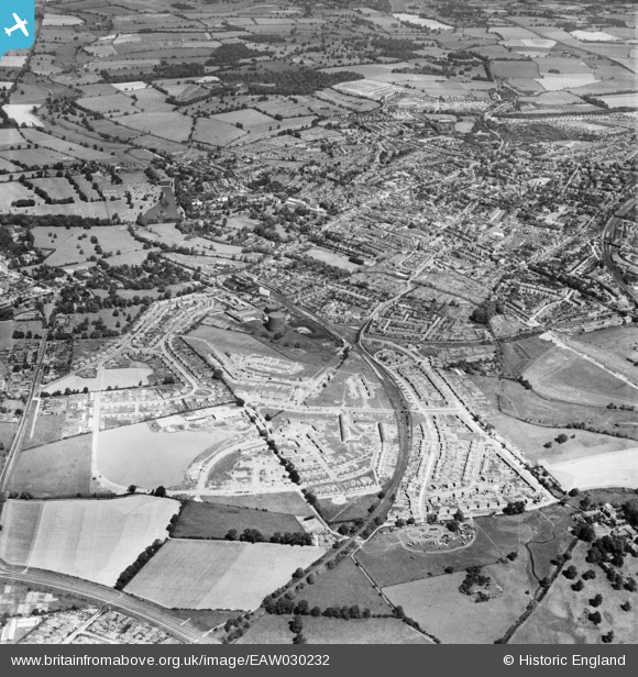
EAW030232 ENGLAND (1950). St Julian's and the city, St Albans, 1950
© Copyright OpenStreetMap contributors and licensed by the OpenStreetMap Foundation. 2026. Cartography is licensed as CC BY-SA.
Nearby Images (10)
EAW030232

EAW030236

EAW030956

EAW030237

EAW030957

EAW030958

EAW030951

EAW030947

EPW016807

EAW030953

Details
| Title | [EAW030232] St Julian's and the city, St Albans, 1950 |
| Reference | EAW030232 |
| Date | 12-June-1950 |
| Link | |
| Place name | ST ALBANS |
| Parish | |
| District | |
| Country | ENGLAND |
| Easting / Northing | 514771, 206190 |
| Longitude / Latitude | -0.33750345532596, 51.742188692334 |
| National Grid Reference | TL148062 |
Pins

Sandyn |
Saturday 21st of August 2021 05:39:21 PM |