
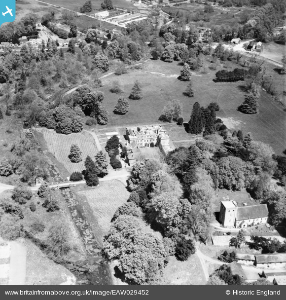
EAW029452 ENGLAND (1950). Warnford Park and the Church of Our Lady, Warnford, 1950
© Copyright OpenStreetMap contributors and licensed by the OpenStreetMap Foundation. 2026. Cartography is licensed as CC BY-SA.
Nearby Images (5)
EAW029452

EAW029450

EAW029451

EAW029448

EAW029438

Details
| Title | [EAW029452] Warnford Park and the Church of Our Lady, Warnford, 1950 |
| Reference | EAW029452 |
| Date | 12-May-1950 |
| Link | |
| Place name | WARNFORD |
| Parish | WARNFORD |
| District | |
| Country | ENGLAND |
| Easting / Northing | 462220, 122777 |
| Longitude / Latitude | -1.113189808103, 51.000474253473 |
| National Grid Reference | SU622228 |
Pins

James Chandler |
Wednesday 12th of February 2014 07:35:53 PM |