
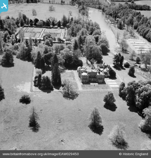
EAW029450 ENGLAND (1950). Warnford Park, Warnford, 1950
© Copyright OpenStreetMap contributors and licensed by the OpenStreetMap Foundation. 2026. Cartography is licensed as CC BY-SA.
Nearby Images (5)
EAW029450

EAW029452

EAW029448

EAW029451

EAW029438

Details
| Title | [EAW029450] Warnford Park, Warnford, 1950 |
| Reference | EAW029450 |
| Date | 12-May-1950 |
| Link | |
| Place name | WARNFORD |
| Parish | WARNFORD |
| District | |
| Country | ENGLAND |
| Easting / Northing | 462244, 122771 |
| Longitude / Latitude | -1.1128488133834, 51.000417703667 |
| National Grid Reference | SU622228 |
Pins
Be the first to add a comment to this image!