
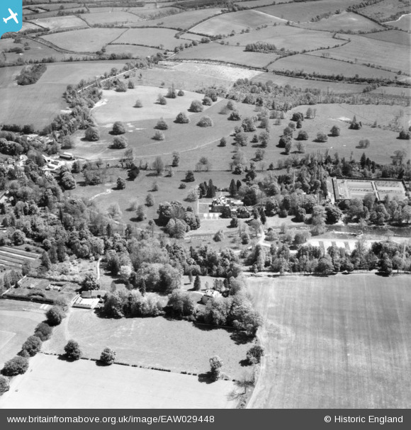
EAW029448 ENGLAND (1950). Warnford Park, Warnford, 1950
© Copyright OpenStreetMap contributors and licensed by the OpenStreetMap Foundation. 2026. Cartography is licensed as CC BY-SA.
Nearby Images (5)
EAW029448

EAW029452

EAW029450

EAW029451

EAW029438

Details
| Title | [EAW029448] Warnford Park, Warnford, 1950 |
| Reference | EAW029448 |
| Date | 12-May-1950 |
| Link | |
| Place name | WARNFORD |
| Parish | WARNFORD |
| District | |
| Country | ENGLAND |
| Easting / Northing | 462234, 122810 |
| Longitude / Latitude | -1.1129846356707, 51.000769481399 |
| National Grid Reference | SU622228 |
Pins

flubber |
Tuesday 25th of March 2014 07:57:42 PM |